New tools help citizens “plow through” winter weather
 We’ve been there – snow is falling and beginning to pile up, blocking your driveway and roads, and the top question we receive is “what’s going on with my road?” We have an answer.
After public feedback, our Washoe County Roads department has launched two innovative new tools for our community – our “Where’s My Plow?” snowplow monitoring interactive map AND a series of videos explaining the processes and equipment used to keep roads clear during winter months.
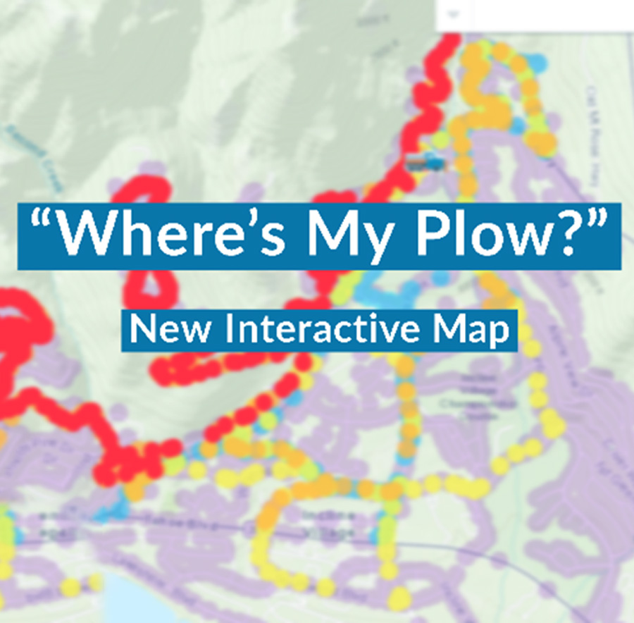
Where’s My Plow? This new snowplow monitoring system provides the public with a near real-time interactive map to see where the high-elevation snowplow fleet is currently operating, and the last time a specific street was plowed. Simply visit the page, and type in your address to see the last time your road was plowed, or visit the page to see where the plow currently is. The “Where’s My Plow?” interactive map is now live for the Incline Village and Crystal Bay areas, with other higher elevation areas of the county possibly coming online in the future.
Winter Roads video series. Our Roads supervisors share important information in this new video series including how we manage over 700 miles of road throughout the county, what the priority roads are, our areas serviced and the Incline Village color codes.